Communication and Transportation
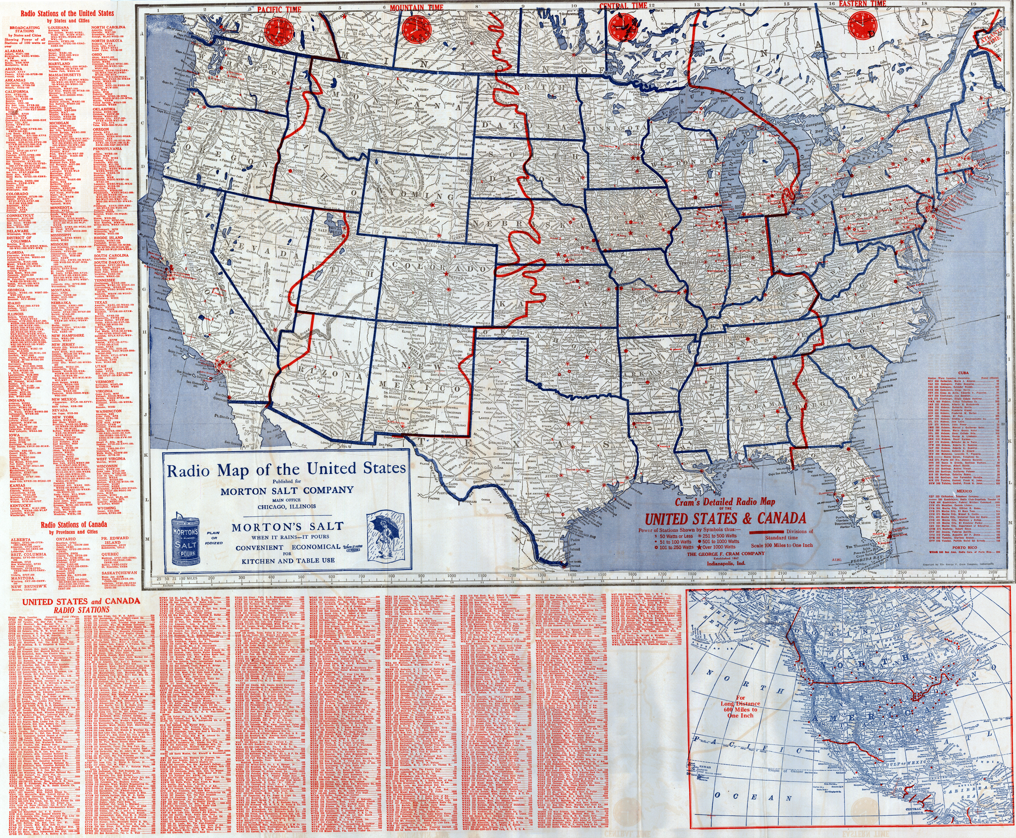
[Below] George F. Cram Company. “Cram’s Detailed Radio Map of the United States & Canada” (Indianapolis: George F. Cram Co., [1926]). Printed map, 47 × 73 cm, on sheet 69 × 86 cm [Historic Maps Collection].
Pre-network era map. Revised to December 5, 1926, the map includes listings of radio stations by place and by call letters. Generally, the first letter is K for stations west of the Mississippi and W for those east of it, but there are a number of exceptions. Symbols are used to indicate the power (in watts) of each station, from fifty or less to more than a thousand. The first radio network broadcast, by NBC (National Broadcasting System), took place on November 15, 1926—too late for the network to be indicated on the map.
