Communication and Transportation
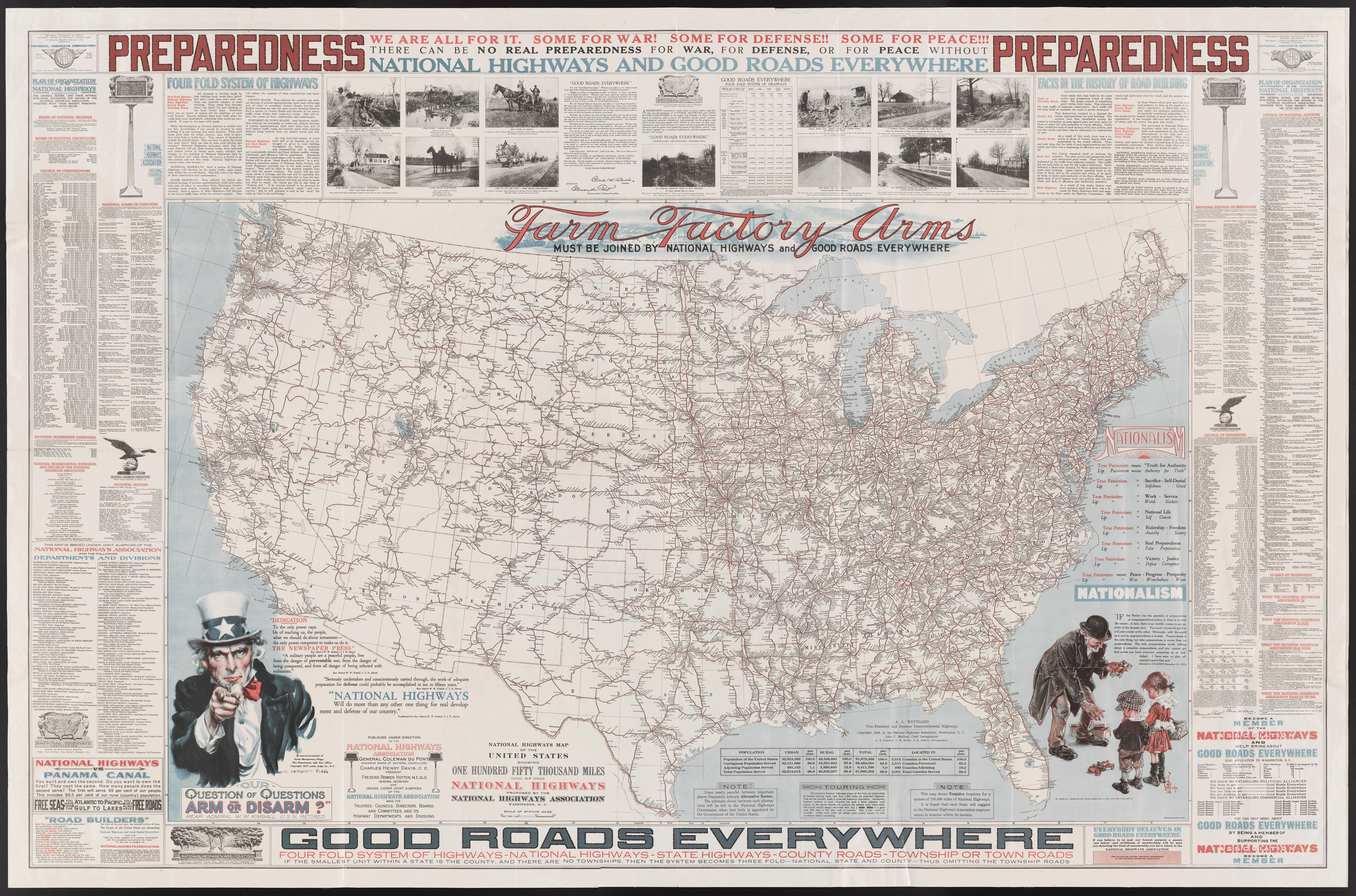
[Below] John C. Mulford. “National Highways Map of the United States Showing One Hundred Fifty Thousand Miles of National Highways Proposed by the National Highways Association” (Washington, D.C.: National Highways Association, 1918). Lithograph map, 76 × 125 cm, on sheet 102 × 157 cm [Historic Maps Collection].
Organized by millionaire Charles Henry Davis in 1911, the National Highways Association—its slogan, “Good Roads Everywhere”—proposed a nationwide system of highways for the federal government to construct and maintain. The timing was not good, as World War I would consume the government’s attention and funds. The interstate highway system that we know today did not develop until the 1950s, under President Dwight D. Eisenhower’s administration.
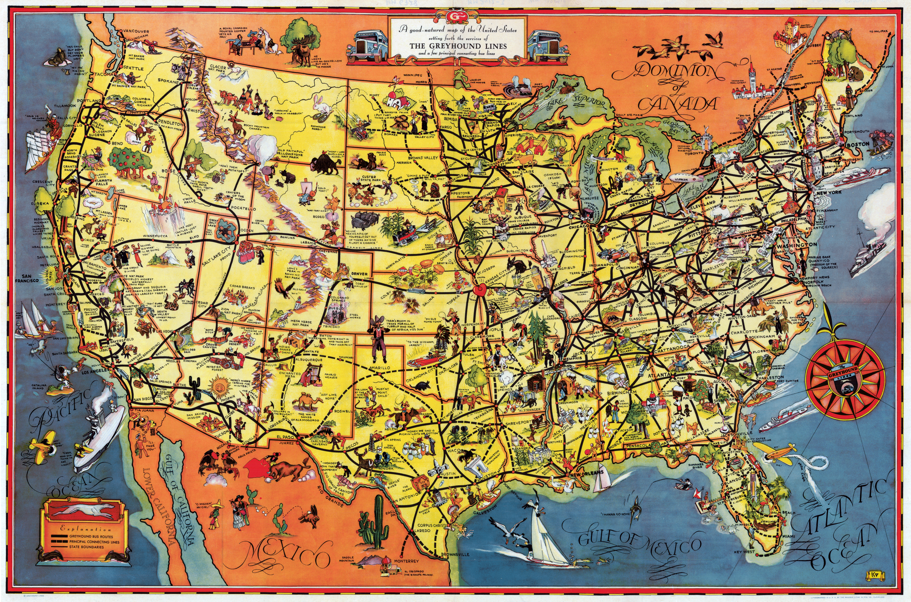
[Below] Greyhound Lines. “A Good-Natured Map of the United States: Setting Forth the Services of the Greyhound Lines and a Few Principal Connecting Bus Lines” (N.p.: Greyhound Lines, [1937?]). Lithograph map, 47 × 72 cm [Historic Maps Collection].
Probably the first version of a popular pictorial map depicting the routes of the fast-growing Greyhound Bus Lines. The first Greyhound bus began operation in Hibbing, Minnesota, in 1914 (see the illustration at the top center of the map). The Golden Gate Bridge had just opened (1937). The “good nature” of the map condones social and racial stereotypes that proliferate in the map’s pictorials—Native American Indians snake dancing, African-Americans picking cotton—all captioned with “down home” lingo. At the time of the map, black passengers faced segregated buses and facilities in the South.

