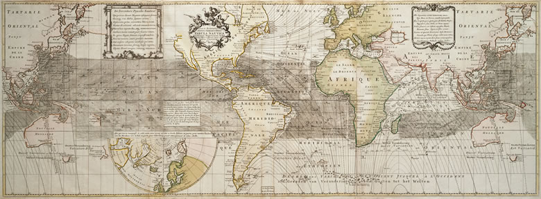
Plate 27
Edmond Halley, English, 1656–1742
Nova & Accuratissima totius terrarum orbis tabula nautica variationum mangeticarum index . . . (1686 )
5-15⁄16 x 19-5⁄16 in. (15 x 49 cm)
London, 1700
This, an elongated map of the world, shows the directions of the main seasonal winds across most of the globe. Produced on the basis of scientific observation, it heralds the later developments of global positioning systems, satellite photography, and the exploration of space.