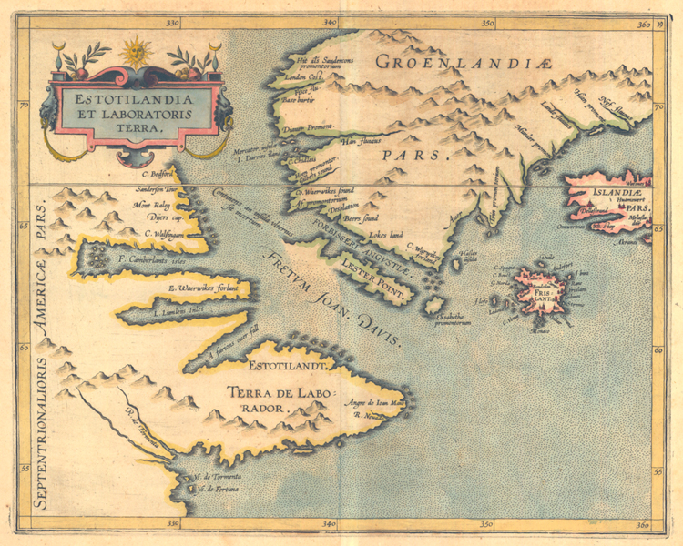
"Estotilandia Et Laboratoris Terra" [1597]. Copperplate map, 21.7 x 27.8 cm., handcolored. Issued by Wytfliet in editions of his Descriptionis Ptolemaicae augmentum, first published in Louvain in 1597. [Historic Maps Collection: purchased with funds provided by Robert M. Backes, Class of 1939.]
This is the first map to focus on the discoveries of the English explorers Martin Frobisher and John Davis. It covers the coast of Labrador, Greenland, Iceland, and the mythical island of Frisland, surprisingly shown with many named towns. Frisland first appeared in a map by Nicolo Zeno in 1558 and was accepted by Gerhard Mercator for his world map of 1569. Frobisher's use of this map caused a great deal of cartographic confusion, for when he reported seeing a "high and rugged land," he assumed it was Frisland though it was actually Greenland. When he arrived at Baffin Island, he thought he was at Greenland; hence, his discovery of "Frobisher's Strait" (on the map as Forbisseri Angvstiæ) was positioned for many years at the bottom of Greenland. Davis's L. Lumleÿs Inlet is actually the same place, but more accurately located and correctly identified as a bay. Frisland persisted on numerous maps until as late as the eighteenth century. In a dozen years, Henry Hudson will sail through A furious over fall, which will become Hudson Strait, and discover Hudson Bay.
